
Review · MEXICO
Trekking Through The Volcanoes
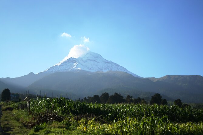
The striking part of this day is the setting: you walk between Iztaccíhuatl and active Popocatépetl, with pine forest, high alpine ground, fumarole views, and sometimes ice around a waterfall. It is a real mountain outing, not a gentle stroll from Mexico City.
I like the small group limit of 13 and the fact that lunch, water, snacks, poles, and a backpack are included. Guides such as Carlos and Bernardo have been especially attentive about pace and altitude. The catch is simple: this is a long hike at roughly 3,500 to 4,000 meters, so thin air can make an otherwise easy trail feel hard.
I also like the finish at a traditional market or roadside cantina, where tacos and quesadillas replace the usual packaged tour meal. The main drawback is the long drive, about two hours each way, plus a dusty final stretch and, on some routes, several kilometers beside a road.
Key points to know before booking
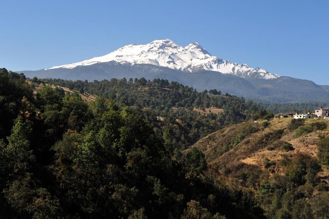
- Two volcanoes in one day: Walk below Iztaccíhuatl, the Sleeping Woman, and active Popocatépetl.
- High-altitude hiking: The route gains about 300 to 400 meters and reaches roughly 4,000 meters.
- Two route lengths: The hike may be offered as a shorter 9-kilometer option or a longer 13-kilometer loop.
- Food is unusually generous: Your pack includes water, an energy drink, snacks, and a sandwich, followed by tacos and quesadillas.
- Useful gear is supplied: You receive trekking poles and a backpack, while guides carry safety equipment.
- Small-group format: The advertised maximum is 13 people, though group size can vary by departure.
Between Iztaccíhuatl and Popocatépetl
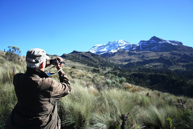
This experience takes you out of Mexico City and into Iztaccíhuatl-Popocatépetl National Park. The two volcanoes give the day its drama, but the appeal is not only the famous peaks. You move through several types of mountain scenery, including pine woods, open grassland, volcanic ash, ravines, and high ground near the tree line.
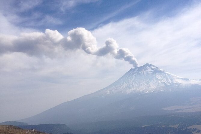
Popocatépetl is still active, so you may see its fumarole rising from the cone when conditions are clear. You will not climb to the summit. The route stays on the lower parts of the volcanoes and heads to viewpoints near Paso de Cortés and Cerro Altzomoni.
I like this approach because you get the great views without signing up for a mountaineering expedition. The route still asks for effort, though. A 9-kilometer outing may feel moderate for a fit hiker, while the longer 13-kilometer version can become a serious day at altitude.
More volcano treks around the world:
- Mount Etna: Trek to 3000m with cable car and 4×4
★ 4.6 · 3,823 reviews - Mount Etna: Summit Crater Trek with Cable Car
★ 4.8 · 1,875 reviews - La Palma: Tajogaite Volcano Guided Trek
★ 4.8 · 1,810 reviews
The 7 a.m. pickup and mountain drive
The day begins at 7 a.m. at Av. Vicente Suárez 38 in Condesa, with the activity ending back at the same point. Private transport is included, which matters here. You do not need to arrange a rental car, work out park access, or find a mountain driver.
Allow about two hours each way. The road becomes winding, and anyone prone to motion sickness should consider taking suitable medication before departure. A restroom stop is made during the drive, but facilities are limited near the trailhead and on the path. Carry some cash, toilet paper, and patience for basic conditions.
The early start helps you get into the mountains before the day becomes too warm. It also gives you more time for the hike, stops, and meal without turning the return to Mexico City into a late-night outing. The full day may run a little over 10 hours, even though the listed duration is about nine.
Paso de Cortés: where the walking begins
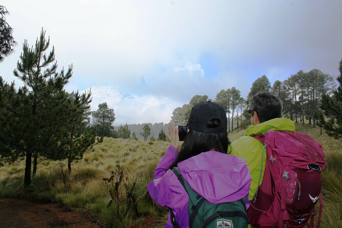
The walking section starts at Paso de Cortés, a broad mountain saddle between the volcanoes. From here, the route enters forest with Iztaccíhuatl ahead. The first part gives you a useful sense of scale: Mexico City feels far away, while the volcanoes become the focus of the day.
The trail is not mainly a technical climbing route. Much of it is a dirt road or well-used mountain path, with some steep uphill sections and loose, dusty ground. Volcanic ash can get kicked into the air, so a bandana or face covering is useful. Dusty shoes and trousers are part of the deal.
Guides generally keep the group together and stop to check breathing, pace, and comfort. That is important because altitude affects people unevenly. Someone who handles a long walk at home may still need frequent rests here.
Cerro Altzomoni and the Popocatépetl views
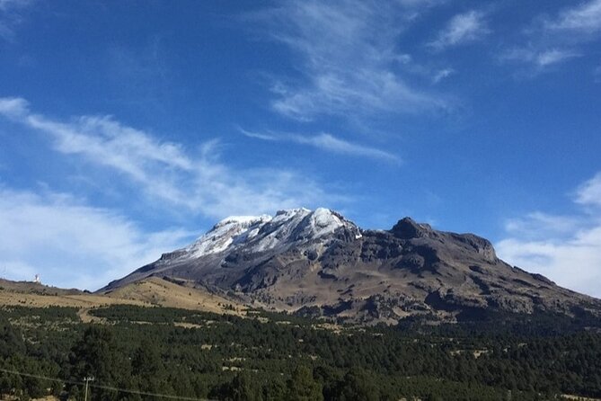
The route climbs toward Cerro Altzomoni, one of the best points for looking across to Popocatépetl. This is the visual high point for many people. You can see the active volcano’s cone and, when the air cooperates, its fumarole.
Clear weather makes a major difference. On a bright day, the views reach across the surrounding mountain country and give you a close sense of the volcanoes’ scale. In the rainy season or under cloud, the peaks may disappear. You will still have forest and open mountain scenery, but this is not a trip where perfect volcano views are guaranteed.
The climb is steady rather than technical, yet the elevation changes the experience. At roughly 3,500 meters and above, you may feel short of breath on slopes that would be easy at sea level. Guides such as Carlos, Bernardo, Alan, Sergio, and Alberto have been praised for walking at a manageable pace and hanging back with people who need more time. Still, you need to tell the guide early if you feel unwell.
More treks around the world:
- Bali: Mount Batur Sunrise Trek With Guide and Breakfast
★ 4.8 · 3,461 reviews - From Chania: Full-Day Samaria Gorge Trek Excursion & Guide
★ 4.6 · 3,191 reviews - Etna: summit craters trekking with volcano guide 3350mt
★ 4.7 · 1,712 reviews - From Rethymno: Samaria Gorge Full-Day Trek, Pickup & Guide
★ 4.5 · 1,610 reviews
Amalacaxco Ravine, water, and changing scenery
After the higher viewpoint, the route descends toward the Amalacaxco ravine. This section brings more variety, with plants, forest, open ground, and the chance to see local fauna. The route can feel peaceful, especially on a weekday when very few other groups are on the trail.
A waterfall or glacial stream area is one of the memorable features along the way. In cold weather, you might see icicles around the water and vegetation. It is a good place to stop for photos, but keep your footing in mind. Rocks, ash, and wet ground can be slippery.
The route eventually returns toward Paso de Cortés. Some departures take the longer loop, around 13 kilometers, while others use a shorter route of about 9 kilometers. Ask at the start which version is planned. The difference matters if you are managing time, fitness, or altitude concerns.
One point deserves a fair warning: part of the return on some routes uses a road with passing cars. The first several kilometers may feel like pure mountain walking, then the final section can be less attractive and less quiet. This is the weakest part of the day, but it also makes the route easier to finish and keeps the outing within a day-trip format.
What comes in your backpack
The tour supplies trekking poles and a backpack, which saves you from bringing bulky equipment from home. Guides also carry the main safety equipment. The included food is more than a token snack.
The pack includes:
- One liter of water
- A 600-milliliter energy drink
- A chocolate energy bar
- Peanuts
- Fruit snacks
- A sandwich or similar packed food
The exact food arrangement can vary, but you should have enough for the walking portion. Then, on the way back, lunch is served at a traditional market or roadside Mexican eatery. Tacos and quesadillas are common, with fillings such as squash flower available on some days.
This two-part meal plan is a real value at $133.34 per person. You are paying for private transport, a full mountain day, a guide, gear, trail food, drinks, and a cooked Mexican meal. It is not the cheapest way to visit the park, but arranging all those pieces yourself would be difficult without your own vehicle and local mountain knowledge.
How demanding is the hike?
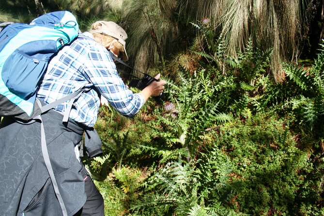
The best description is moderate to strenuous, depending on your fitness and experience at altitude. The trail is not technically difficult in the way a summit climb is difficult. There are no claims that you will reach either volcano’s summit, and the route stays below the highest peaks.
The challenge comes from four things:
- Thin air at roughly 3,500 to 4,000 meters
- A total walking distance of about 9 to 13 kilometers
- Repeated uphill sections
- Loose ash, rocks, dust, and occasional slippery ground
You should be comfortable walking for several hours and going uphill without rushing. You do not need advanced climbing skills, but a sedentary visitor may find the day too hard. One person in a group may manage the route quickly while another needs regular pauses. A good guide will adjust the pace, but the group still has to move together.
I would spend several days in Mexico City before booking this if possible. That does not guarantee an easy day, but arriving at this elevation immediately after a late flight is a poor plan. If you develop serious altitude symptoms, tell the guide rather than trying to push through.
Clothing, shoes, and small practical tips
Start with layers. Morning conditions can be around 8 degrees Celsius, windy, and cold. Later, sun and exertion may have you down to a T-shirt. Bring a warm layer, a windproof or rain jacket, long trousers, a hat, and sunglasses.
Wear sturdy hiking shoes with good grip. The route can be dusty, rocky, and slick around water. Bring sunscreen, since high-altitude sun is strong, and cover your mouth or nose if ash and dust bother you.
You do not need to bring a backpack or trekking poles, but you should bring a small personal supply of tissues, personal medication, and cash for basic restroom use. Keep your phone charged. The views, waterfall, fumarole, and changing light make this one of those days when you will want plenty of photographs.
Guides and the group experience
The operator is México Travesías. The group maximum is listed as 13, which is a useful size for a mountain route. You get more personal attention than on a large bus excursion, and the guides can see who is tiring.
Carlos receives especially strong praise for combining route knowledge with a warm manner, answering questions from children, and helping people who needed an easier finish. Bernardo has also been noted for regular check-ins and explanations about plants, animals, and geography. Alan, Sergio, Salva, and Alberto are among the other guides associated with departures.
The guiding style may vary. Some guides explain the volcanoes, flora, and geology as you walk. Others focus more on leading the route and answering questions when asked. If you want interpretation, speak up early and ask about Popocatépetl, Iztaccíhuatl, the ravine, and the park’s plants. Do not assume you will hear a running lecture all day.
A small group can also mean a quicker pace if everyone is fit. Tell the guide about your ability at the start, and do not be embarrassed to request a pause.
Value, cancellation, and who should book
At $133.34, I see this as a strong-value day for someone staying in Mexico City without a car. The included transfer is the biggest benefit, followed by the gear, food, guide, and access to a part of Mexico that many city visitors never see.
You should book if you want a full day outdoors, can handle a long high-altitude walk, and like the idea of finishing with local tacos rather than a standard restaurant. It is also a good fit for solo visitors, couples, and families with older children who are used to walking.
You should think twice if you dislike winding drives, dusty trails, basic facilities, or changing weather. This is not a relaxed sightseeing tour, even though the route is not a technical climb. Free cancellation is available up to 24 hours before the start time. Poor weather or failure to meet the minimum group size can lead to a new date or a full refund.
Should you book Trekking Through The Volcanoes?
I would book it if you want the best mix of mountain scenery and practical support in one day. The volcano views, quiet forest, waterfall area, and traditional lunch give the outing more character than a simple viewpoint stop.
Go in with the right expectations: you are signing up for altitude, distance, dust, and a long vehicle ride. Wear layers, bring good shoes, cover your face from ash, and ask for the longer or shorter route based on your fitness. If that sounds appealing rather than intimidating, this is one of the more rewarding ways to leave Mexico City for a day.
FAQ
Where does the tour start and finish?
It starts at Av. Vicente Suárez 38 in Colonia Condesa, Mexico City, at 7 a.m. The activity ends back at the same meeting point.
How long does the experience last?
The listed duration is about nine hours. The complete day may run a little over 10 hours, including the drive, hiking, stops, and lunch.
How far do you hike?
The route may be offered as a shorter hike of about 9 kilometers or a longer loop of about 13 kilometers. Confirm the planned route at the start.
How high does the hike go?
The route begins around 3,500 meters and may reach close to 4,000 meters, or roughly 13,000 feet. The elevation gain is about 300 to 400 meters.
Is lunch included?
Yes. The tour includes packed food and drinks for the hike, followed by a Mexican meal at a traditional market or roadside eatery. Tacos and quesadillas are included.
What equipment is provided?
You receive trekking poles and a backpack containing your lunch and supplies. The guides carry the required safety equipment.
Is the hike suitable for beginners?
Most people can participate, but you need good general fitness and comfort with several hours of uphill walking. High altitude can make the route strenuous even when the trail is not technically difficult.
Is Popocatépetl safe to visit?
The route visits the lower areas and viewpoints near the volcanoes rather than climbing Popocatépetl. Popocatépetl is active, and you may see its fumarole when conditions are clear.
What happens if the tour is canceled?
If poor weather causes cancellation, you will be offered another date or a full refund. If the minimum number of participants is not met, you will also be offered another option or a full refund. You can cancel for a full refund up to 24 hours before the start time.
New treks around the world
- Sapa: 2-Day Local Guided Valley Trek with Night Homestay★ 5.0 · 27 reviews
- SAPA: 1-DAY TREKKING TOUR WITH LOCALS, LUNCH & RICE FIELDS★ 4.7 · 18 reviews
- Sapa: 2-Day Local Guided Valley Trek with Night Homestay★ 4.8 · 5 reviews
- Santa Marta: Trekking in Minca Complete Waterfall Circuit★ 4.4 · 28 reviews
- Santiago: Longueira, Pico de Antónia & Monte Tchota Trek★ 4.8 · 10 reviews
- Santiago: Trek from Serra Malagueta to Rabelados Community★ 5.0 · 16 reviews
- Santiago Island: Serra Malagueta & Tarrafal Beach Trek Tour★ 4.8 · 61 reviews
- Santa Marta: Multi-Day Trek to The Lost City★ 4.8 · 40 reviews
Volcano Treks, side by side.
Mount Etna: Trek to 3000m with cable car and 4×4
Read our review →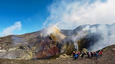
Mount Etna: Summit Crater Trek with Cable Car
Read our review →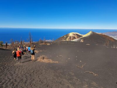
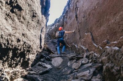
Etna: summit craters trekking with volcano guide 3350mt
Read our review →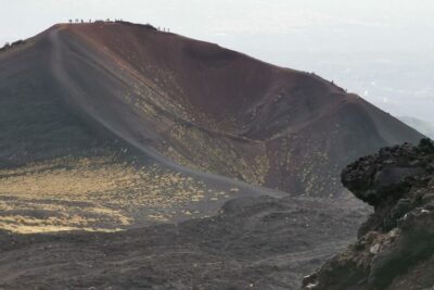
Catania: Mount Etna Trekking Tour Beyond the Tourist Trails
Read our review →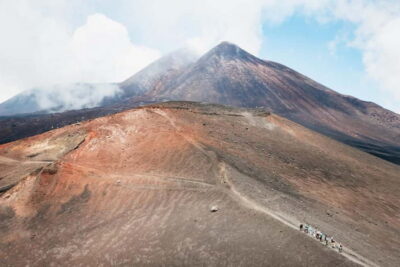
Mount Etna: Guided Trek 3,000 Meters to the Summit
Read our review →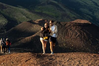
Etna Sunset Tour: Volcano trek, Cave & tasting from Catania
Read our review →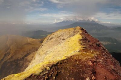
Lists this trek appears in