
Review · SPAIN
La Palma: Guided trekking tour to volcanoes south
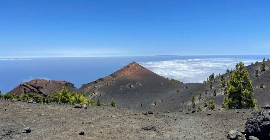
The 17-kilometre Volcanoes Route cuts across La Palma’s youngest volcanic ground, from the pine-covered El Pilar Refuge to the red cone of Volcán de Martín near Los Canarios. You climb toward almost 2,000 metres, cross black ash and old craters, and may walk above a sea of clouds.
I like the mix of volcanic scenery and Canary Island pine forest, which keeps the hike from feeling like one long stretch of bare rock. I also like the guide-led format: you get the views, plus a clear account of how eruptions shaped the island. One guide named Arnie has been especially praised for both his volcanic explanations and careful transport arrangements.
This is not a gentle stroll. The route is tough, with an uphill opening and a demanding descent, and food and drinks are not included. You need good physical condition and a full day free.
Key points to know before you book
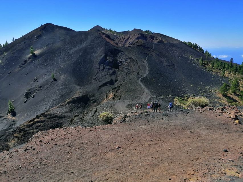
- Seventeen kilometres on the GR-131: The hike runs from El Pilar Refuge to Los Canarios, with a steep start and a long descent.
- A chain of volcanic craters: Hoyo Negro, Las Deseadas, and Volcán de Martín give the route its strongest geological character.
- Almost 2,000 metres above sea level: The high sections bring broad views and, on clear days, possible sights of Tenerife, La Gomera, and El Hierro.
- Pine forest meets black ash: The changing ground makes this more varied than a simple volcano walk.
- Eight hours with transport included: Hotel pickup and drop-off remove the need to arrange a one-way transfer.
- Spanish, English, and German guides: Small-group availability can make the long walk easier to follow and more personal.
Why this route feels like Mars on La Palma
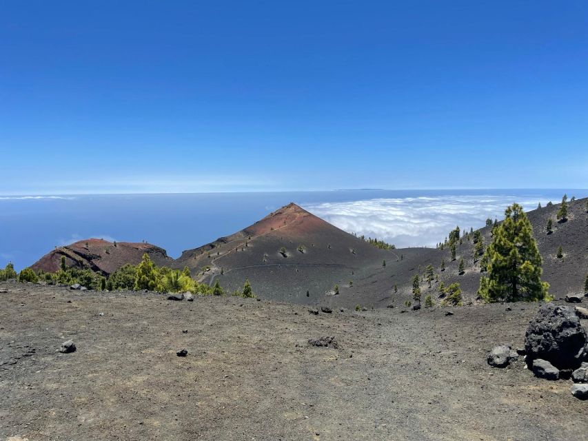
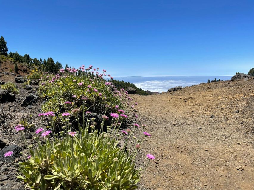
La Palma’s southern mountain range has a raw, young look. Black ash, red cinder, rough lava, and sharp crater rims replace the softer scenery found elsewhere on the island. Yet Canary Island pines grow right up to the volcanic ground, giving you a striking contrast between green forest and dark earth.
That contrast is the heart of the walk. You are not simply crossing a field of lava. You are moving through a long volcanic story, with each crater and ridge showing a different stage of the island’s formation. The guide explains the eruptions and volcanic activity as you go, so the scenery becomes easier to read.
The Mars comparison is not just a sales line. In places, the ash and reddish cones give the route a spare, other-worldly appearance. The difference is that La Palma adds sea views, pine trees, clouds below your feet, and other Canary Islands on the horizon.
Bring your camera, but do not let photography turn the day into a stop-and-start exercise. The route is long, and you will want to save energy for the higher sections and the descent.
More volcano treks around Spain:
- La Palma: Tajogaite Volcano Guided Trek
★ 4.8 · 1,810 reviews - Volcano Trekking Tour (Timanfaya eruptions)
★ 5.0 · 339 reviews - Trekking in the Volcanoes Natural Park in a small group
★ 5.0 · 97 reviews
Starting at El Pilar Refuge and climbing toward Birigoyo
The hike begins at El Pilar Refuge, a practical starting point in the high mountain zone. From here, the route follows the GR-131 and climbs from the outset. This opening section is important: if you find the first uphill stretch very difficult, the rest of the day will feel even harder.
The path skirts Pico Birigoyo. From this area, you can look toward the Aridane Valley, the Caldera de Taburiente, and Roque de Los Muchachos, the highest point on La Palma. The views help you understand the island as a steep volcanic mass rather than a flat coastal destination.
You may also see El Paso, Los Llanos de Aridane, and Tazacorte from the route. These views are a good reason to pause, catch your breath, and let the guide point out the different parts of the island.
The first section combines climbing with forest walking. That is helpful on a demanding day because the pine cover gives the route visual variety. It also means the walk does not begin with an exposed volcanic ridge from the first minute.
Hoyo Negro and the first great crater views
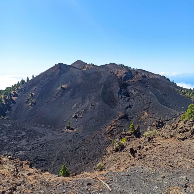
As you continue uphill, the pine forest gives way to more open volcanic ground. Hoyo Negro marks the start of the crater-filled section that gives the Volcanoes Route its name.
At Hoyo Negro, clear weather may reveal Santa Cruz de La Palma, Los Cancajos, and the neighboring islands. Tenerife, La Gomera, and El Hierro can sometimes be seen, though you should treat those views as a bonus rather than a promise. Cloud, haze, and mountain weather can change the picture quickly.
One of the route’s memorable possibilities is walking through the clouds. From above, a cloud layer can look like a white sea spread below the volcanic ridges. It is a fine reminder that you are hiking at serious elevation, not merely on a coastal trail.
The weather matters here. A clear day gives you wider views and sharper colors. A cloudy day can make the craters feel more mysterious, but it may hide the islands and distant valleys. Either way, sturdy shoes and sensible clothing matter more than trying to dress for a particular photograph.
Las Deseadas, the high point, and the start of the descent
After Hoyo Negro, the route continues through more craters and volcanic ridges before reaching Las Deseadas, the highest point on the walk. This is a key moment in the day because the route changes character after it.
The climb has required steady effort, and reaching the high point may feel like a natural finish. It is not. From Las Deseadas, you begin a descent that is described as difficult. Descending on loose volcanic ground can be tiring in a different way from climbing, especially after several hours on foot.
This is where fitness makes a real difference. You do not need to be a technical mountaineer based on the information provided, but you do need to handle a long mountain walk with sustained uphill and downhill sections. If you dislike descents or often struggle on uneven ground, think carefully before booking.
The guide’s role is useful here. A good guide can keep the group moving at a sensible pace, explain what you are seeing, and help the day feel like a structured walk rather than a race to the finish.
More guided trips around Spain
- Caminito del Rey: Trekking Tour with Hiking Guide
★ 4.1 · 295 reviews - Fuerteventura: Guided Trekking Tour with Island Goats
★ 4.9 · 146 reviews - La Palma: Guided Trekking Tour to El Roque de los Muchachos
★ 4.6 · 104 reviews - La Palma: Guided Trekking Tour To Cubo de la Galga
★ 4.4 · 90 reviews
Volcán de Martín and the final approach to Los Canarios
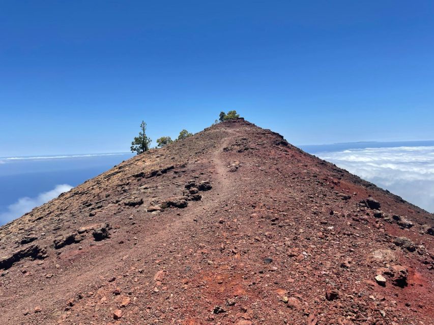
The route eventually reaches Volcán de Martín, one of the last craters before the end of the walk. Its reddish cone is easy to notice from a distance and provides one of the strongest visual endings to the volcanic section.
From here, you continue downhill toward Los Canarios in Fuencaliente, the southernmost municipality on La Palma. The change from high volcanic ridges to the final settlement gives the route a satisfying sense of crossing the island’s southern mountain belt.
A transfer waits at Los Canarios to return you to your starting area. This is one of the tour’s most useful features. A 17-kilometre route that begins and ends at different places creates a transport problem if you arrange it alone. Hotel pickup and drop-off make the day simpler, though the exact meeting point can vary with the option you book.
Do not expect a relaxed finish. By the time you reach Los Canarios, the hardest work is likely behind you, but your legs will know you have completed a serious hike.
What the guide adds to the walk
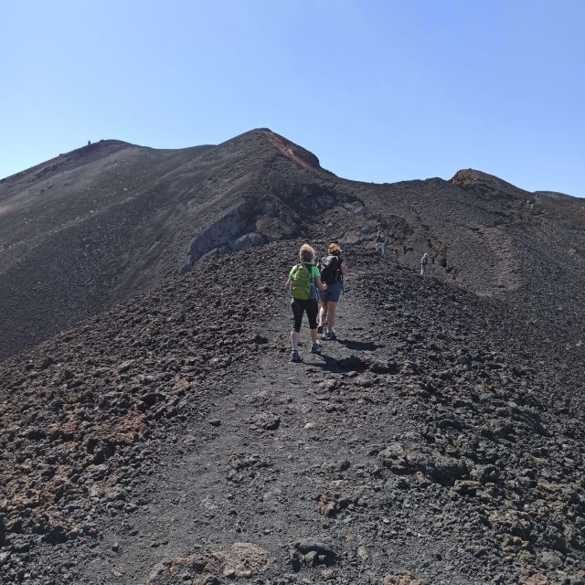
The route is scenic enough to tempt you into going alone, but a guide gives the volcanic terrain more meaning. Instead of seeing only black soil and red cones, you learn how craters, lava, ash, and eruptions fit into La Palma’s geological story.
Guiding is available in Spanish, English, and German. That language choice matters on a full-day outing because the explanations are part of the experience, not a small extra between viewpoints.
Arnie is one named guide associated with the experience. If he is leading your departure, you can expect a guide who has been specifically praised for interesting volcanic information and for keeping the transport arrangements well organized. Guide availability can vary, so do not assume a particular person will lead every date.
Small-group availability is another advantage. The group size may affect how easily you can hear explanations, ask questions, and keep a steady pace. It is worth checking the exact option before paying if a smaller group is important to you.
Is the $50 price good value?
At $50 per person, this is a reasonable price for an eight-hour guided mountain outing. The value comes from three things: a full-day route, a live guide, and transport between the trail ends and your hotel or meeting point.
Arranging the same walk independently would mean researching the GR-131, planning a one-way transfer from Los Canarios, and going without the guide’s explanation of the volcanic sites. The tour does not remove every cost, however. Food and drinks are not included, so you must plan for your own supplies.
The price is strongest for people who want the whole route and do not want to solve the transport puzzle. If you are already based near the trail and prefer hiking alone, the guided format may feel less necessary. For most visitors seeking a complete day on La Palma’s volcanic spine, the included logistics make the fare fair.
What to bring and how to judge the difficulty
The supplied details do not specify a packing list, but the route itself gives you clear priorities. Wear footwear suitable for a 17-kilometre mountain walk and bring food and drinks, since they are excluded from the price.
You should also prepare for changing conditions. The route reaches almost 2,000 metres, passes through pine forest and exposed volcanic ground, and may include cloud cover. The same day can offer sun, mist, and cooler high mountain conditions.
This is best for a fit hiker who is comfortable walking for much of an eight-hour day. It is a poor match for someone looking for a short scenic stroll, a casual family outing, or an activity with little climbing.
The most demanding features are clear:
- The route climbs from El Pilar Refuge.
- It reaches its high point at Las Deseadas.
- The descent after the high point is not easy.
- The total distance is about 17 kilometres.
- The day lasts eight hours, including the guided experience and transport arrangements.
Booking flexibility and practical details
You can cancel up to 24 hours before the activity for a full refund, and the reserve-now-pay-later option lets you keep your plans flexible. Starting times depend on availability, and the meeting point may vary according to the option selected.
Hotel pickup and drop-off are included, but check the pickup details when you book. The exact arrangement matters because the walk starts at El Pilar Refuge and ends at Los Canarios.
The tour is provided by La Palma Transfer & Tours. A live guide is available in Spanish, English, or German, and a small-group option may be offered. The experience has an overall rating of 4.9 from 44 ratings, with particular praise for the hike itself, the volcanic explanations, and the transport organization.
Should you book the Volcanoes Route?
Book it if you want La Palma’s strongest volcanic scenery in one demanding day, and if you are fit enough for 17 kilometres with a climb and a difficult descent. The route gives you craters, pine forest, high ridges, possible cloud views, and a clean finish at Volcán de Martín and Los Canarios.
Skip it if you want an easy walk, dislike long descents, or prefer to choose your own pace and stops. For the right hiker, the $50 price is sensible because it combines a major route with guiding and return transport. Bring your own food and drinks, check the weather, and save some energy for the final downhill miles.
FAQ
How long is the Volcanoes Route?
The route is about 17 kilometres, running from El Pilar Refuge to Los Canarios in Fuencaliente.
How long does the tour last?
The experience lasts eight hours.
Where does the hike begin?
The walk begins at El Pilar Refuge and follows the GR-131 trail.
Where does the hike finish?
The route finishes at Los Canarios, in Fuencaliente, the southernmost municipality on La Palma.
How high does the route reach?
The hike climbs to almost 2,000 metres above sea level, with Las Deseadas identified as the highest point of the route.
Is the hike difficult?
Yes. The route is described as tough and requires good physical condition. It includes an uphill start and a demanding descent after Las Deseadas.
What languages are available?
Live guides are available in Spanish, English, and German.
Is transportation included?
Yes. Hotel pickup and drop-off are included, and a transfer returns you from Los Canarios to the starting area.
Are food and drinks included?
No. Food and drinks are not included in the price.
What is the price of the tour?
The listed price is $50 per person.
New treks around Spain
- Mallorca: Torrent de Pareis trekking Adventure★ 5.0 · 3 reviews
- La Palma: Guided e-bike tour (trekking)★ 5.0 · 6 reviews
- Granada: Sierra Nevada Veleta Peak Trek with Lunch★ 4.9 · 60 reviews
- Fuerteventura: Trekking Tour Through the North of the Island★ 4.8 · 43 reviews
- Alicante: Via Ferrata del Ponoig Guided Trek and Climb★ 4.9 · 8 reviews
- La Palma: Guided Trekking Tour To Cubo de la Galga★ 4.4 · 90 reviews
- Trekking in the Volcanoes Natural Park in a small group★ 5.0 · 97 reviews
- Caminito del Rey Trekking Walkway★ 4.0 · 100 reviews
Volcano Treks, side by side.
Mount Etna: Trek to 3000m with cable car and 4×4
Read our review →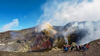
Mount Etna: Summit Crater Trek with Cable Car
Read our review →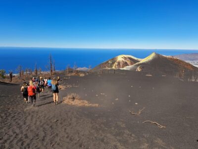
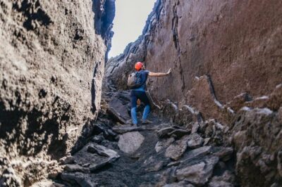
Etna: summit craters trekking with volcano guide 3350mt
Read our review →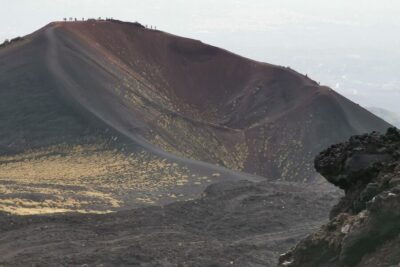
Catania: Mount Etna Trekking Tour Beyond the Tourist Trails
Read our review →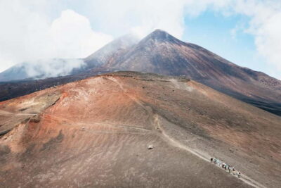
Mount Etna: Guided Trek 3,000 Meters to the Summit
Read our review →
Etna Sunset Tour: Volcano trek, Cave & tasting from Catania
Read our review →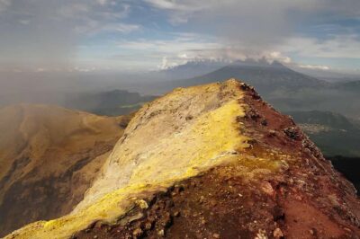
Lists this trek appears in